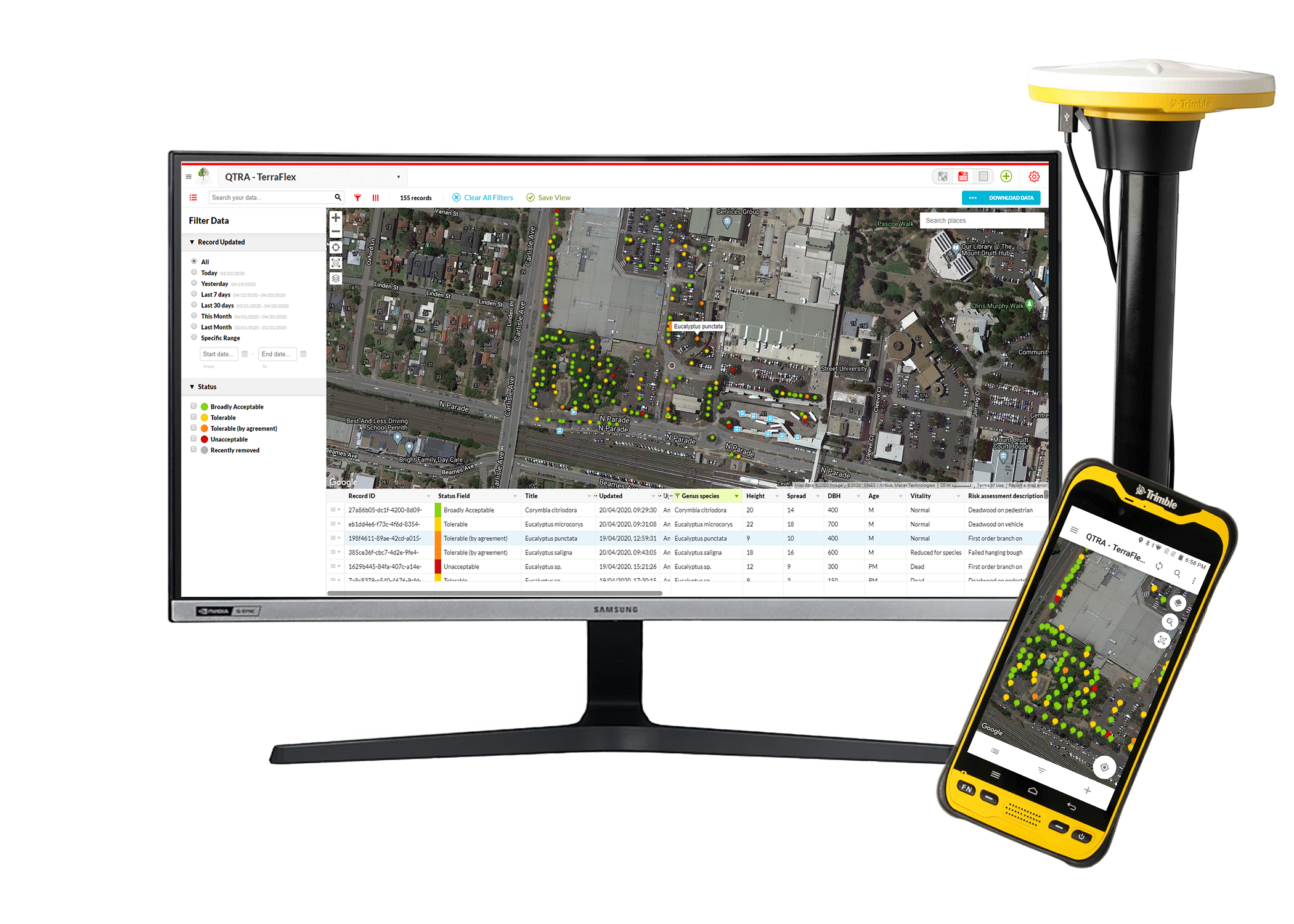
Tree Mapping and Tree Surveying (GPS / GIS)
At Naturally Trees we specialise in tailoring tree surveys to meet your needs. We have range of data collection and mapping devices to accurately survey each tree either digitally using GPS based software or we can tag each tree on site for ease of identification. It all depends on your requirements for the project.
GPS and GIS data collection systems provide a very comprehensive analysis for tree management. Tree Inventory Systems are used as a tool to help quantify tree populations and provide a comprehensive analysis of asset management.
The system can be tailored to capture all types of tree information, mapping and management tools for the end user including - Quantified tree risk assessments, health and structure assessment, hazard assessment, Useful Life Expectancy (ULE) ratings and tree management recommendations, work programs to name a few.
The GPS system provides sub-metre accuracy. Data can be imported from a number of GIS and database formats allowing previously collected GIS data to be taken back to the field for verification and update. Data collected in the field is collected by prompts in the GIS software ensuring data integrity, compatibility and accuracy.
Data can be viewed against any number of background files such as aerial photographs, satellite imagery or existing maps of the area. Databases can range from excel format to a full management system.
Utilising these latest computor systems we can conduct tree surveys and assessments for the following:
- Street trees
- Private trees
- Open space trees
- Commercial and government property
- Golf courses
- Cemetries
- Development sites


